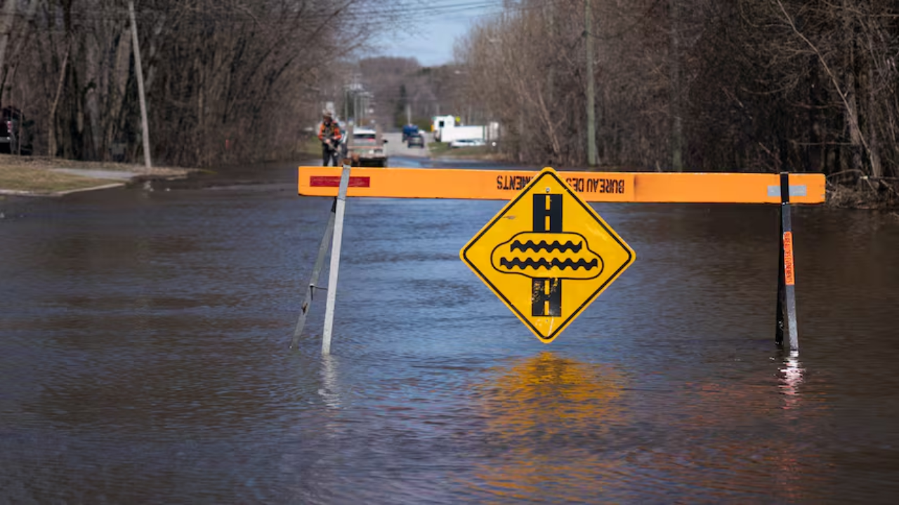
The Ottawa River is reaching critical levels, with a major flood peak expected to hit tonight or tomorrow (Tuesday, April 21). Current forecasts suggest water levels in many areas will surpass the highs seen during the 2023 floods.
Thank you for reading this post, don't forget to subscribe!Peak Level Forecasts by Location
| Location | Expected Peak | Vs. 2025 Levels |
| Gatineau (Hull) | 44.15 m | + 60 cm |
| Thurso | 42.8 m | + 55 cm |
| Britannia / Lake Deschenes | 60.15 m | + 40 cm |
| Chats Lake | 75.5 m | + 25 cm |
| Lac Coulonge | 108.4 m | + 25 cm |
| Pembroke | 113.0 m | + 15 cm |
Key Regional Updates
- Gatineau: Over 160 homes are at risk, and 41 streets have been closed. Emergency crews are conducting door-to-door checks.
- Ottawa: Residents in Constance Bay should prepare for levels to rise another 40–50 cm before stabilizing. Significant flooding is also impacting Britannia Beach.
- Emergency Declarations: States of emergency are currently active in West Nipissing and Saint-André-d’Argenteuil.
Looking Ahead
While cooler temperatures and dry weather are expected for the rest of the week—which should help stabilize the river by Wednesday—officials remain cautious. A deep snowpack of up to 50 cm remains in the northern basin, meaning a second peak is possible if the weather turns warm or rainy later this month.

"Suresh Kumar Saini is an experienced Tax Assistant and finance writer. He specializes in US & Canada Tax Guide, Indian Income Tax laws, GST compliance, and personal finance, helping freelancers and remote workers optimize their taxes."