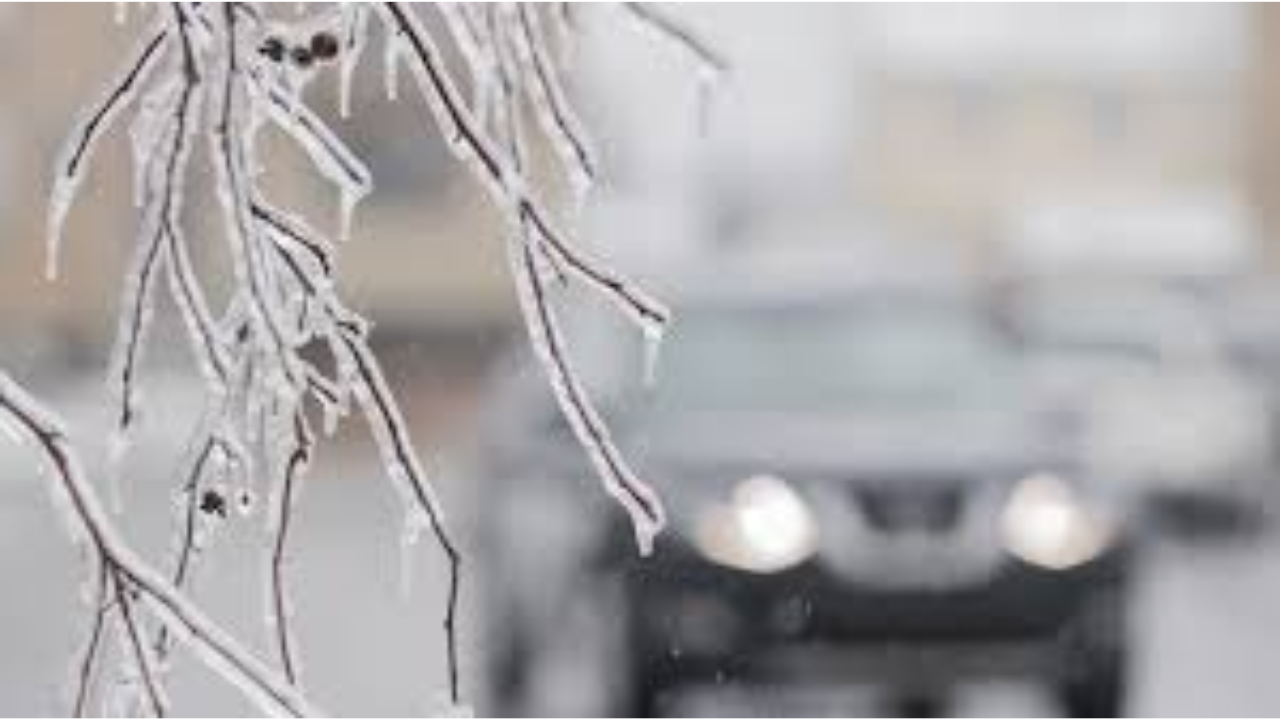
A “messy” system is moving through the province, creating hazardous conditions for post-holiday travelers.
Thank you for reading this post, don't forget to subscribe!- Southwestern Ontario (London, Sarnia, Windsor): A Freezing Rain Warning is in effect. These regions are in the “bullseye” for ice accretion, with 5–15 mm of ice possible. Roads and walkways are expected to be extremely slippery through the afternoon.
- Greater Toronto Area (GTA) & Hamilton: A transition from snow to ice pellets and freezing rain is occurring. Toronto could see up to 10 cm of snow before the switch, while areas north of the city (Barrie, Simcoe) may see 12 cm.
- Northern Ontario: Regions from Thunder Bay to Sault Ste. Marie are facing an all-snow event, with accumulations reaching 20 cm.
Newfoundland & Labrador: Blizzard Conditions
The East Coast is being hammered by high winds and heavy snowfall, leading to widespread “whiteout” conditions.
- Snowfall & Wind: Most of Newfoundland and eastern Labrador are under Winter Storm Warnings. Some areas, like Cartwright, could see up to 60 cm of snow. Wind gusts are reaching up to 120 km/h.
- Power Outages: Newfoundland Power reports approximately 5,300 customers are currently without electricity due to the severe conditions.
- Travel Impact: St. John’s is seeing heavy snow transition to rain as temperatures rise, but high winds continue to make travel dangerous.
Travel & Infrastructure Impact
- Aviation: Major delays and cancellations are being reported at Toronto Pearson (YYZ) and St. John’s (YYT). Airlines like Air Canada and WestJet have issued travel advisories and flexible rebooking options.
- Roads: Highway 401 and other major routes in Southern Ontario are reported as extremely slick. Drivers are urged to delay non-essential travel.
Looking Ahead: A second, potentially more significant system is being monitored for Sunday, December 28. This system could bring prolonged freezing rain (12–24 hours) to Central and Eastern Ontario.
