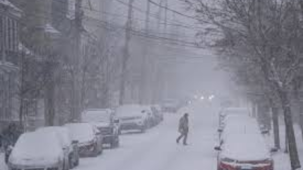
Residents across the Atlantic provinces are preparing for a significant winter event as a powerful Nor’easter sweeps through the region. The storm, which rapidly intensified over the Atlantic, is delivering a “messy” combination of heavy snow, freezing rain, and high-velocity winds that are threatening to paralyze travel and local infrastructure.
Thank you for reading this post, don't forget to subscribe!Storm Highlights & Accumulations
The system is moving west to east, with the most severe impacts concentrated in Nova Scotia and Prince Edward Island:
- The Snowfall Belt: Central Nova Scotia and Eastern PEI are bearing the brunt of the storm. Forecasters are calling for 15 to 25 cm of heavy, wet snow.
- Coastal Wind Threats: Along the coasts of Newfoundland and Nova Scotia, wind gusts could reach 100 km/h, creating whiteout conditions and high seas.
- The Transition Zone: Areas in southern New Brunswick and parts of the Avalon Peninsula are seeing a mix of snow and ice pellets, making road surfaces extremely slick and unpredictable.
Widespread Disruptions
The “messy” forecast is already causing chaos for commuters and travelers:
- Aviation: Major delays and cancellations are being reported at regional hubs, including Halifax Stanfield and St. John’s International.
- Utilities: Power crews are on high alert. The heavy, “sticky” nature of the snow poses a high risk for downed power lines and localized outages as it clings to branches and infrastructure.
- Road Safety: Municipalities have issued parking bans and are advising citizens to stay off the roads unless absolutely necessary to allow plow crews to keep up with the rapid accumulation.