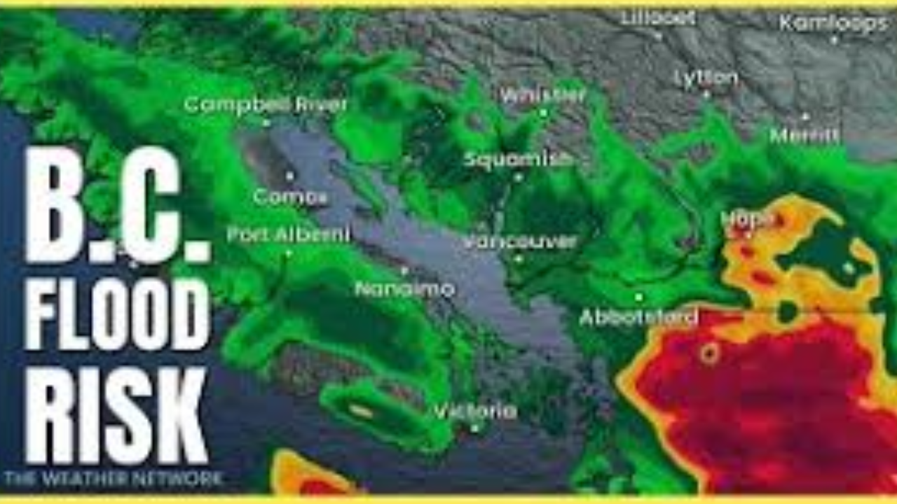
A powerful atmospheric river is making landfall today, Friday, January 9, 2026, bringing a hazardous mix of heavy precipitation and “hurricane-force” wind gusts to British Columbia’s north coast and inland regions. Residents should prepare for a messy start to the weekend as conditions deteriorate through Saturday morning.
Thank you for reading this post, don't forget to subscribe!Primary Hazards
The storm is delivering a three-pronged threat to the region:
- Torrential Rain: Coastal areas, including Prince Rupert and Kitimat, are bracing for up to 100 mm of rain, raising concerns about localized flooding and culvert overflows.
- Heavy Snow & Freezing Rain: While the coast sees rain, inland areas like Stewart are under winter storm warnings for up to 40 cm of snow. Terrace faces a particularly “messy” transition with a high risk of freezing rain this morning.
- Damaging Winds: Haida Gwaii and coastal stretches are under wind warnings, with gusts potentially hitting 120 km/h, likely leading to power outages and ferry disruptions.
Travel Impact Summary
If you are planning to travel via the northern interior highways, expect significant delays:
| Location / Route | Weather Threat | Impact Level |
| Hwy 16 & 37 (Inland) | Heavy snow (15–20 cm) | High – Poor visibility |
| Stewart (Hwy 37A) | Massive Snowfall (40 cm) | Severe – Potential closures |
| Coastal Communities | High Winds & Rain | Medium – Power/Ferry outages |
| South Klondike Hwy | Blowing Snow | High – Treacherous driving |
Safety Outlook
Environment Canada warns that the combination of heavy snow and rapid melting from rain in some areas could increase the risk of washouts and landslides. Motorists are encouraged to delay non-essential travel until the system moves out of the region on Saturday afternoon.