Atlantic Canada remains in the crosshairs of a massive winter system today, January 27, 2026. What began as a standard snowfall has evolved into a dangerous combination of heavy accumulation and life-threatening Arctic temperatures across the Maritimes and Newfoundland.
Thank you for reading this post, don't forget to subscribe!The Regional Breakdown
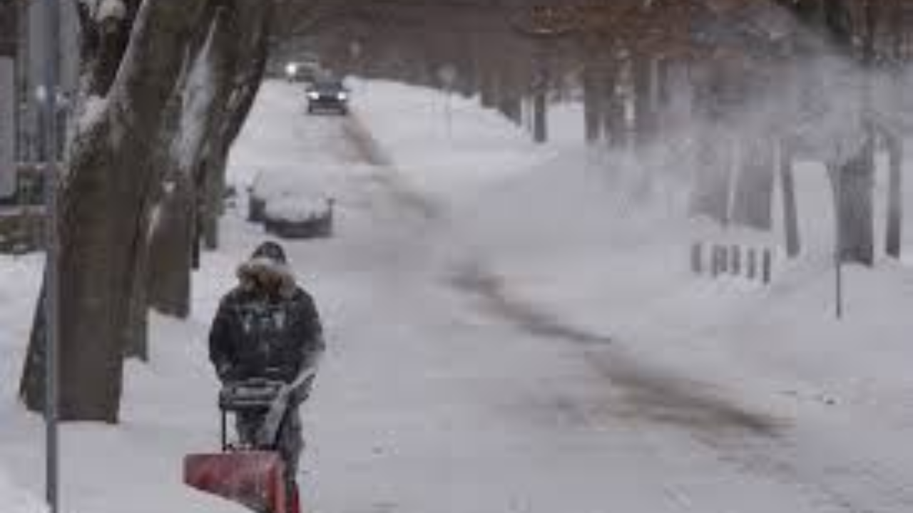
- The Maritimes (NS, NB, PEI): While the heaviest snow is beginning to taper off, the “cleanup” phase is being hampered by high winds. Blowing snow continues to reduce visibility to near-zero on major highways, including the Trans-Canada.
- Newfoundland: The island is currently bearing the brunt of the storm’s eastern track. Coastal regions are facing a “triple threat” of heavy snow, high surf, and freezing spray.
- Labrador: While the snow totals are lower, the extreme cold is the primary story. Wind chills are dipping toward -50°C, making any outdoor activity hazardous.
Critical Safety & Infrastructure Updates
| Category | Status & Advice |
| Energy | Utilities are reporting peak demand; residents are urged to lower thermostats slightly to prevent grid overloads. |
| Travel | Regional airports are largely grounded. Ground travel is highly discouraged due to drifting snow. |
| Health | The “Flash Freeze” effect is in play. Any wet surfaces have turned to solid ice, and frostbite risk is at an all-time high. |
The “Flash Freeze” Outlook
Unlike previous storms this season, there is no warm front behind this system. Forecasters warn that the slush and heavy snow currently on the ground will freeze solid by tonight as the Arctic air mass settles in. This will make manual shoveling nearly impossible and puts a significant strain on snow-clearing equipment.