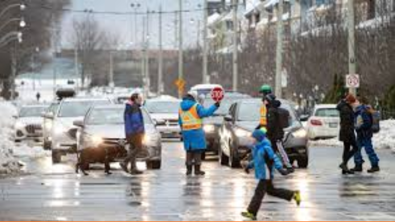
A significant winter system is set to disrupt the Greater Toronto Area starting Wednesday morning, prompting Environment Canada to issue a series of special weather statements and watches. Residents should prepare for a volatile mix of freezing rain, heavy snow, and gusty winds that will likely derail the mid-week commute.
Thank you for reading this post, don't forget to subscribe!The Forecast Breakdown
- The Ice Threat: Freezing rain is the primary concern for the morning hours. Forecasters are eyeing 5 to 10 mm of ice buildup, which is more than enough to turn highways into skating rinks and weigh down power lines.
- The Snow Totals: As the day progresses, the precipitation will likely flip to snow. While Toronto is braced for 5–10 cm, regions further north—like York and Durham—could see up to 15 cm.
- The Wind Factor: Strong easterly gusts will accompany the precipitation, increasing the risk of power outages and creating “whiteout” conditions in areas with heavier snowfall.
Commuter Impact & Timing
| Timeframe | Weather Phase | Impact Level |
| Wed. Morning | Freezing rain/Ice pellets | High: Very slick roads; hazardous morning rush. |
| Wed. Afternoon | Heavy snow & wind | High: Reduced visibility; transit delays likely. |
| Wed. Evening | Tapering to flurries | Moderate: Slushy roads and ongoing cleanup. |
Bottom Line for Residents
This isn’t just a “snow day”—the freezing rain component makes this system particularly unpredictable. Authorities are advising drivers to stay off the roads if possible. If you must travel, ensure your vehicle is fully cleared of ice and snow, and keep a winter emergency kit handy.
Pro Tip: Check your local municipality’s “Salt Tracker” or transit apps before heading out, as specialized de-icing operations will be in full swing.