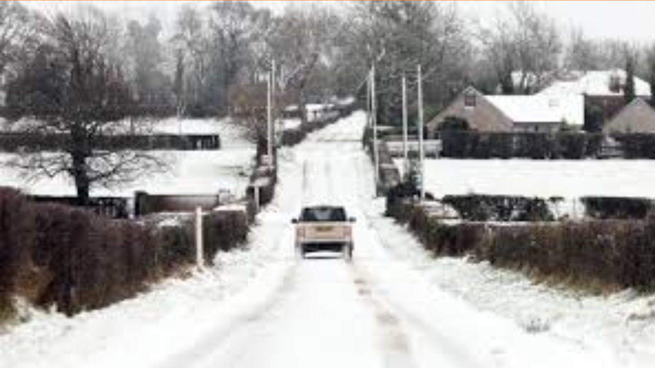
Northern Ireland remains under a Yellow Weather Warning for Ice as a deep Arctic freeze continues to impact the region. While the most severe snowfall has passed, plummeting temperatures overnight have turned slush and meltwater into dangerous sheets of black ice.
Thank you for reading this post, don't forget to subscribe!Key Impacts at a Glance
- Education: Extensive school closures continue, with over 200 institutions shut yesterday and many remaining closed today due to heating failures or dangerous road access.
- Transport: The PSNI has issued a “slow down” advisory. While main arterial routes are being salted, secondary rural roads and residential pavements remain treacherous.
- Public Health: Health trusts are reporting an uptick in weather-related slips and falls; elderly residents are urged to stay indoors where possible.
The Forecast: A Brief Break, Then Storm Goretti
While today offers some bright spells, the respite will be short-lived. Forecasters are monitoring Storm Goretti, which is expected to arrive Thursday evening. This system brings a “double threat”:
- Initial Snow: Heavy falls are possible on higher ground and inland areas.
- Flood Risk: As the air warms slightly, rapid snowmelt combined with heavy rain could lead to localized flooding.
Travel Advice
- Clear your vehicle: Ensure all windows and the roof are completely free of ice/snow before driving.
- Check Translink: Bus and rail services are operating but expect delays on rural routes.
- Pedestrians: Stick to gritted paths and wear footwear with significant grip.